Ship Position Tracking and Alaska Maps
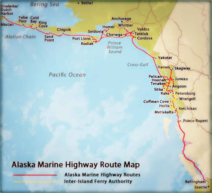
Alaska Ferry Routes
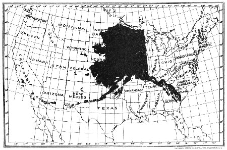
Alaska is a vast land, well deserving of the title "The Last Frontier" or the "Great Land". The majesty stretches from the lush forests of the Inside Passage to the open tundra of the North Slope and from the borders of British Columbia to the wind-swept Aleutian Islands. Explore these far flung communities on your own terms by driving Alaska's "other" highway, the Alaska Ferry
The ferries of Alaska in many cases are the only links to our network of highways. You can drive to Haines or Skagway on the Inside Passage but all of the other Southeast communities are served by the Alaska Ferry network.
Since the Ferry System is an extension of our road system it has been given the official name "Alaska Marine Highway System" and celebrated 50 years of service to Alaskan’s in 2013.
Alaska Visitors Map with Ferry Connections
Download a PDF Map of Alaska showing the roads and routes from Bellingham (near Seattle) Washington to Whittier, near Anchorage and out West on the Aleutian Islands chain. Take a look at the ALASKA MAP from the Alaska Division of Tourism. You can even zoom in for a detailed, up-close view. Look for green lines that identify the ferry routes.
Interactive Ferry Information
Check out our ALASKA 511 Map. Click on a Ferry for detailed information, destination and ETA. You’ll be able to determine where a ferry is at any time.
Ports Arrivals and Departures Calendar
You can use this CALENDAR to determine what the schedule is for a particular vessel, or what Ship calls at a particular Port each month.

Design + Development by Seattle Software Solutions, LLP © 2024 All Rights Reserved